19 First Alert Day: Tornado Warnings hit multiple Northeast Ohio counties

CLEVELAND, Ohio (WOIO) - The entire area is now under an ENHANCED RISK (level 3/5) for severe weather.
The National Weather Service has issued a Tornado Warning for Medina, Wayne and Stark Counties, all of which have expired.
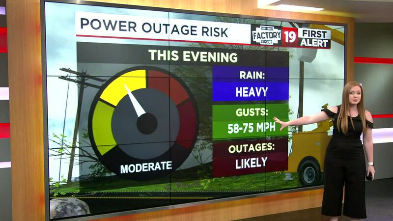
The destructive storm threats are wind gusts, flying debris, tree damage and power outages.
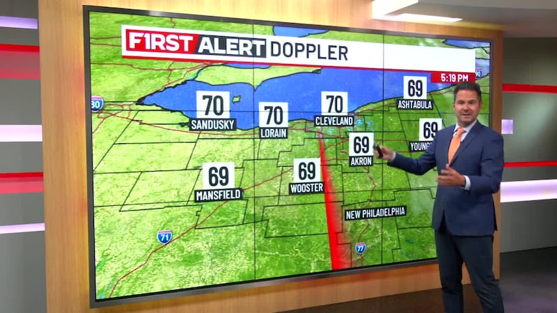
A strong cold front will move through into this evening with damaging winds, large hail and tornadoes all possible.
Cleveland Hopkins experienced delays due to flooding on SR 237.
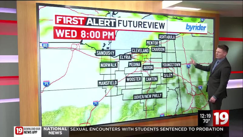
We expect widespread showers and storms to develop to our northwest ahead of the cold front and enter into our area this evening.
Download the 19 First Alert Weather App
19 First Alert Safety Guide: Are you prepared for severe weather?
A damaging line of storms could produce winds gusting up to 75 mph as well as very heavy rainfall.
Any more organized storm embedded within the line could pose a large hail (up to 2″ in diameter -- breakfast egg size) or tornado risk.
Please review your severe weather preparedness plans now before storms enter into Northeast Ohio this evening.
Power loss will be possible, so be sure to have several ways of receiving warnings throughout the day.
Be ready to take shelter if severe storms approach your area.
The main timing we are monitoring tonight will be between 4 PM to 10 PM.
Once the storms pass, our severe threat ends for the evening.
Weather spotter content submission: Share photos or videos with 19 News
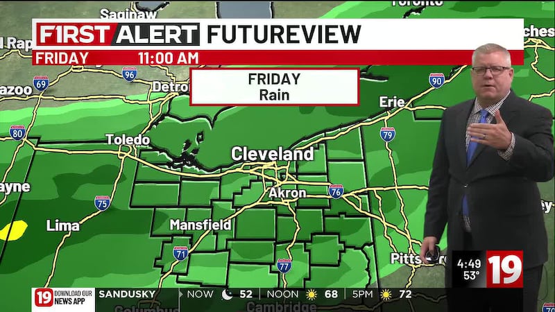
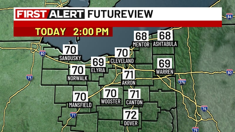
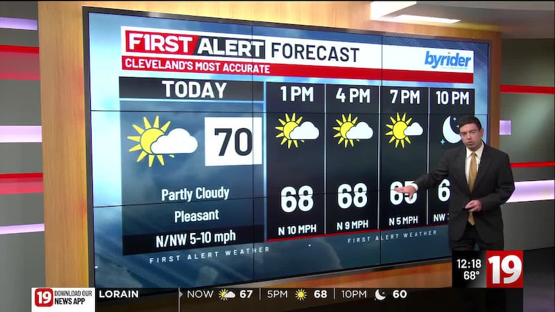
Much cooler temperatures and less humidity arrives for the end of the week into the weekend.
We will watch for a stray shower or storm Friday, but we are on a clearing trend Saturday into Sunday as temperatures gradually warm back into the 80s.
Tracking a few early week rain chances next week with the return of the upper 80s by the end of work week.
Copyright 2023 WOIO. All rights reserved.