19 First Alert Weather Days: Arctic cold followed by Sunday snow
CLEVELAND, Ohio (WOIO) - A cold front will be tracking through this evening with another round of snow, then arctic air rushes in on Friday.
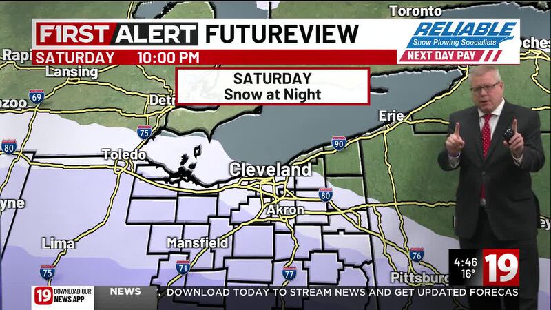
There is also the potential for a southern storm system to bring widespread snowfall Sunday into early Monday.
Temperatures fall back below freezing tonight and remain below freezing through at least next week.
A few snow showers may linger tonight into Thursday morning.
Otherwise, Thursday will be mostly cloudy and dry but windy as high temperatures rise to the 20s.
Light snow is are possible again Thursday night into Friday morning as an arctic front passes.
Then the arctic air plunges in Friday afternoon with temperatures plummeting to the single digits and wind chills dropping to between 10 and 20 degrees below zero.
Saturday morning remains very cold as well as air temperatures start around zero degrees and wind chills remain as low as 10 to 15 degrees below zero.
The wind lessens Saturday afternoon, but high temperatures only rise to around 10 degrees.
Attention then turns to Sunday for the potential for a winter storm to impact Northeast Ohio.
Latest data has been nudging the storm track farther north, which would put the region in a target of at least a few inches of snow.
However, the track is not yet locked in and could shift back south, meaning little to no snow accumulation.
The 19 First Alert Weather Team will keep a close eye on the latest forecast.
Either way, very cold air remains locked in from Sunday through at least the middle of next week.
Copyright 2026 WOIO. All rights reserved.