Northeast Ohio Weather: Dry through the weekend
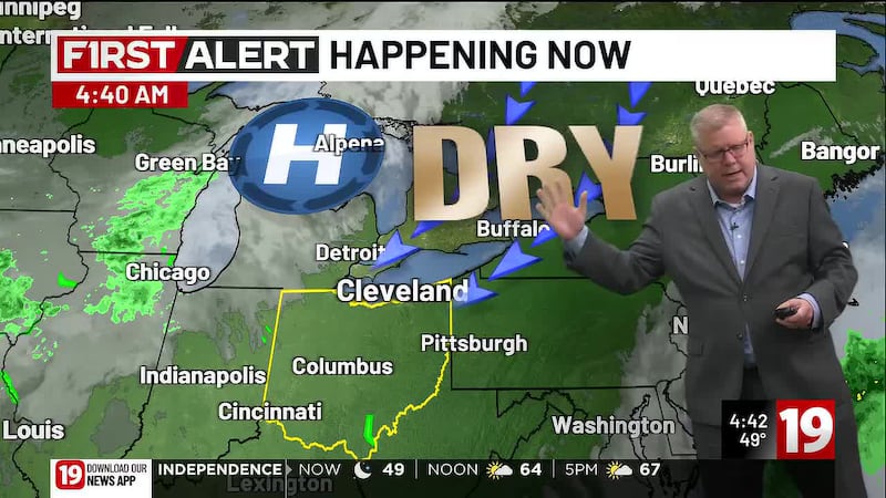
CLEVELAND, Ohio (WOIO) - High pressure continues to drive very pleasant conditions over the area for an extended period of time.
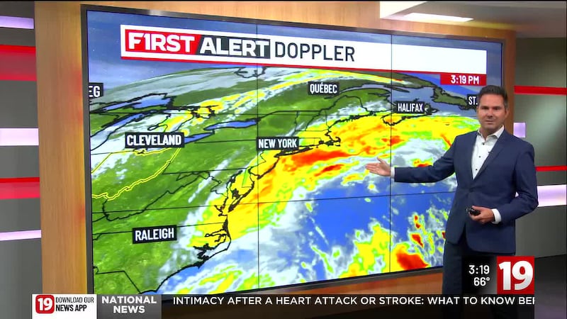
This will come mainly as a result of a nor’easter off to the east, driving a very rainy and windy weekend for the east coast.
In compensation for the rising air associated with the rain and wind, sinking air (hence the high pressure) will be in place for much of the region.
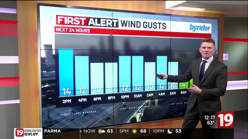
Sunshine turns to clear skies tonight, with calm and clear conditions overhead.
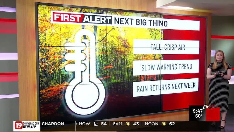
Temps should drop into the upper 40s and lower 50s overnight - not quite as chilly as last night, but still fairly chilly.
Sunshine will continue to develop over the day on Saturday and Sunday as well.
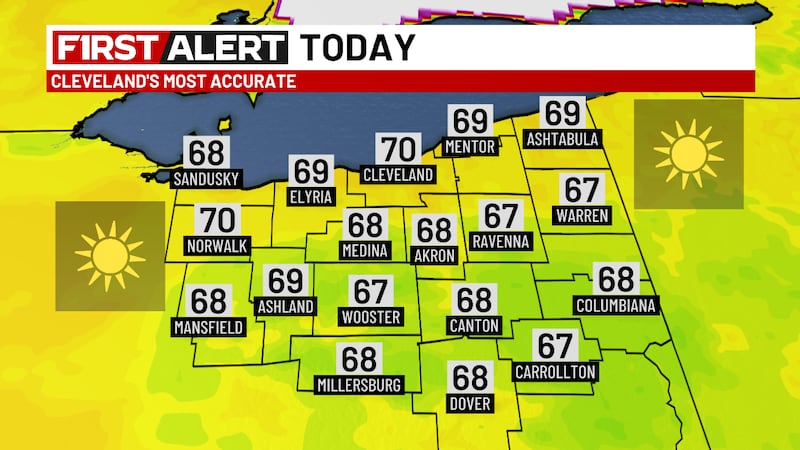
With the high pressure to the north and west of the area, northeasterly winds will keep temperatures in the upper 60s and lower 70s.
With the nor’easter to the east of the area, some blowoff cloud coverage should return for the weekend, but plenty of sunshine will still filter through.
Eventually this pattern will begin to break on Tuesday.
This will allow our high pressure to work to the south and east of the region, allowing southerly winds to return.
Middle and upper 70s will reach the area by Tuesday, lasting through the end of the week.
With this, though, another system that will (eventually) move in from back to the west will drive increased cloud coverage over the area.
This increase in cloud coverage will eventually drive rain chances over the area.
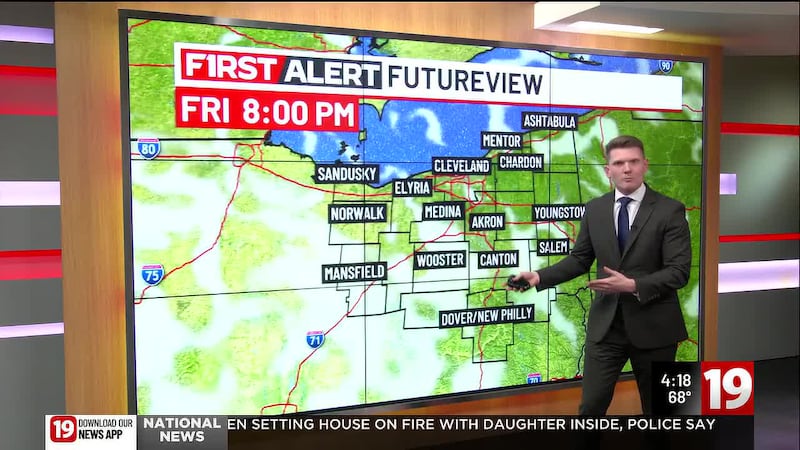
The showers should begin Wednesday evening, lasting through the day on Thursday and into Friday.
Copyright 2026 WOIO. All rights reserved.